ViolaScope for macOS
Geotag photos with GPX tracks on Mac
Use a GPX track to assign locations to photos by matching track times with capture times. ViolaScope combines GPX, map review, time-offset handling and reference-photo workflows in one macOS workspace.
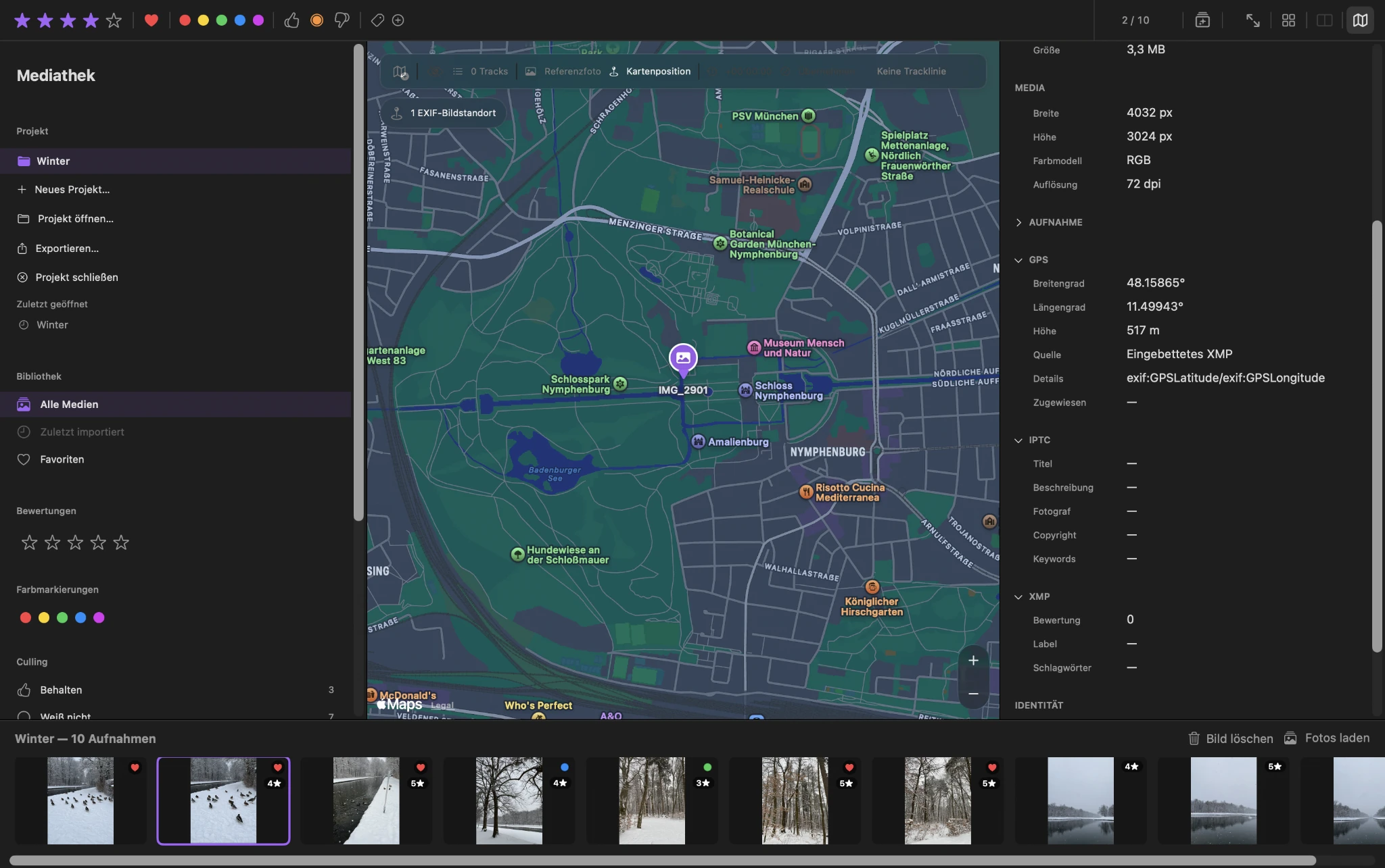
GPX and capture time
Match photo times with positions from a GPX track
A GPX track contains positions recorded over time. ViolaScope can compare those track times with the capture times of your photos and use the matching points to determine project locations.
This makes it possible to add useful location context to photos from cameras that did not record GPS coordinates themselves.
For a step-by-step look at the GPX photo geotagging workflow, including track loading, time offsets, preview and applying locations, see the Map, GPS and GPX chapter.
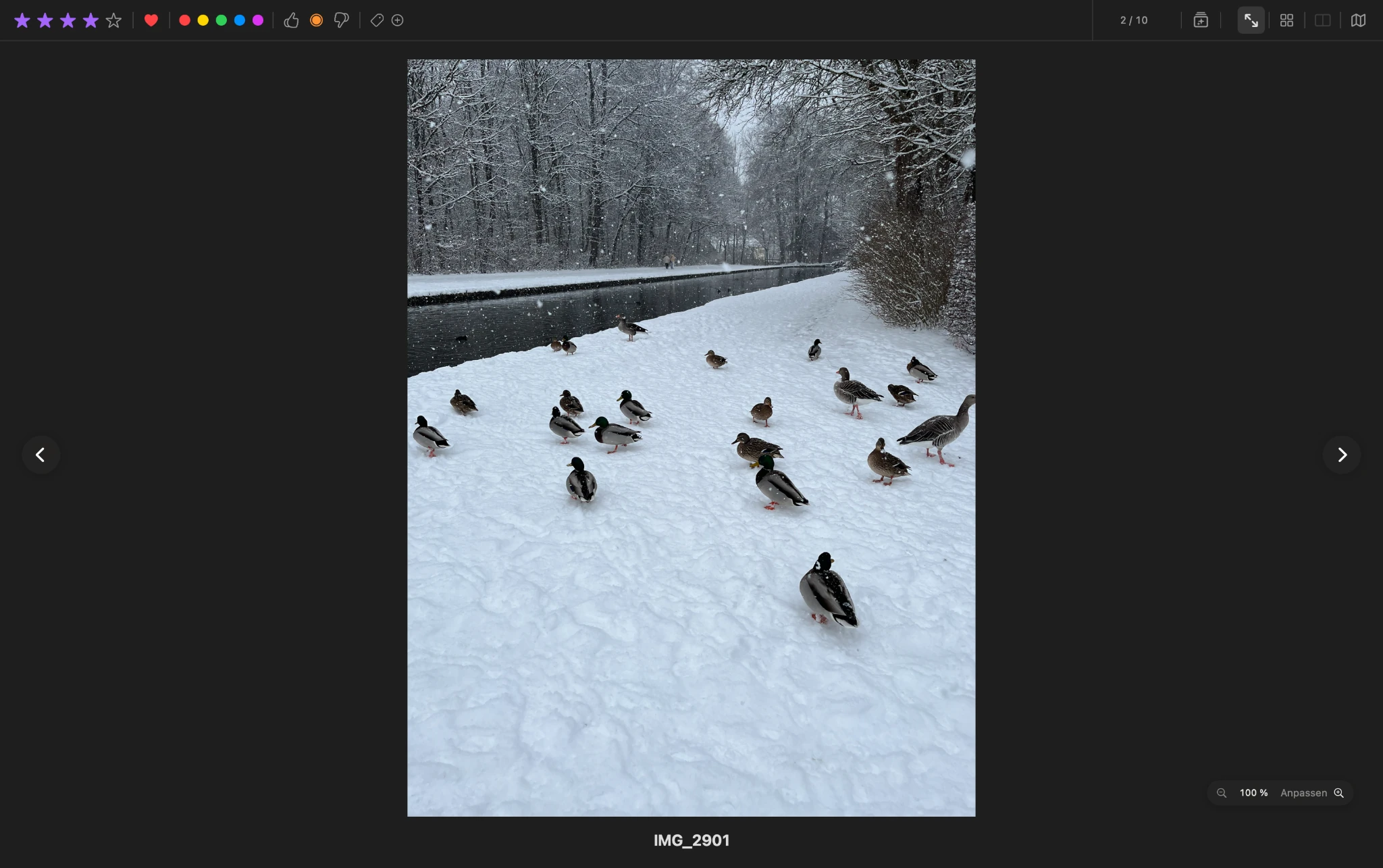
Time offset
Account for a camera clock that was not perfectly synchronized
GPX matching depends on time. If the camera clock and the GPX recording were offset from one another, ViolaScope provides a workflow for applying a time offset before positions are assigned.
This helps align photo capture times with the track without changing the original capture times stored in the source images.
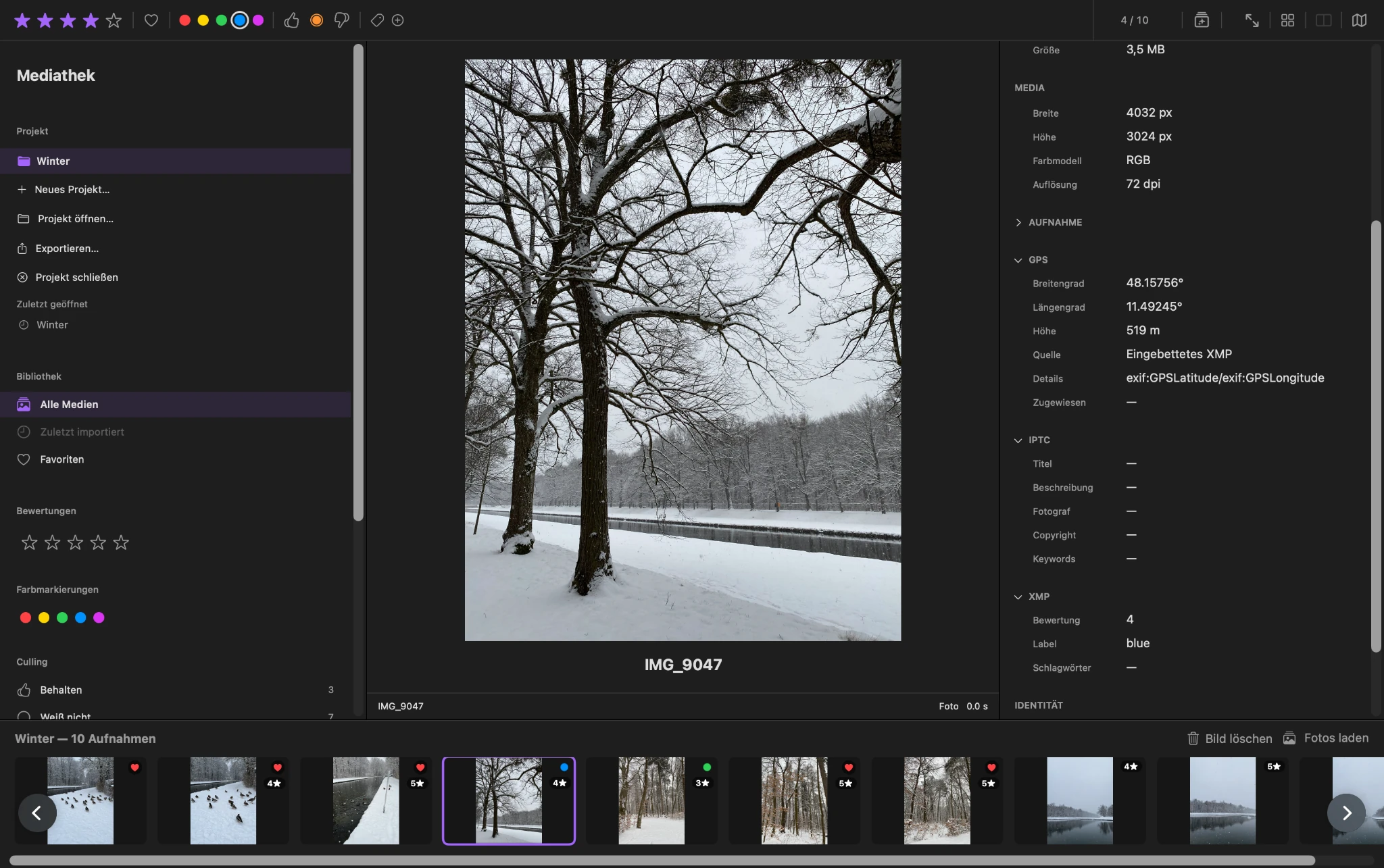
Map and reference photos
Review positions and use more than one location workflow
Assigned locations can be reviewed in the map workflow. ViolaScope also supports reference-photo and map-based location assignment when a GPX track is not the only source of position information.
Existing source location information is protected. Project-specific locations can be managed separately and only transferred through an explicit export workflow.
ViolaScope does not silently rewrite GPS coordinates into your original image files while you review or adjust locations. Project locations remain separate until you deliberately export the result.
Location with control
Add location context without silently rewriting your originals
ViolaScope keeps location work inside the project workflow. Original images and existing source metadata remain protected, while selected project positions can be transferred deliberately during export. When location data is retained, ViolaScope can include it in XMP sidecars and transfer-manifest data rather than treating the original image as an editable metadata store.
Geotagging therefore stays connected to the same local workflow used for photo culling and photo management on your Mac.
Download ViolaScope